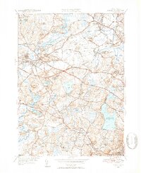
1950 Map of Concord
USGS Topo · Published 1952About this map
Walden Pond State Reservation serves as a central landmark in this mid-century portrait of Middlesex County, where the intellectual and literary heritage of Concord meets the expanding infrastructure of the 1950s. The landscape is defined by the convergence of the Concord River and Assabet River, surrounded by a dense network of family-named heights like Punkatasset Hill and Buttricks Hill. The presence of the Bedford Airport and the large Cambridge Reservoir signifies the region's evolving role in supporting the greater Boston metropolitan area.
Find a feature on this map
86 named features on this map. Tap any name to fly to it.
Don’t see what you’re looking for? This feature index may not catch every label — zoom into the map to look around manually.
Map Details
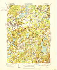
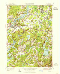
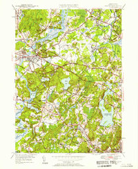
Editions of this 1950 Concord Map
4 editions found
Other maps of this area

1886 · Lawrence
USGS Topo · 1:62,500

1886 · Lowell
USGS Topo · 1:62,500

1886 · Framingham
USGS Topo · 1:62,500

1888 · Lawrence
USGS Topo · 1:62,500

1889 · Framingham
USGS Topo · 1:62,500

1893 · Lowell
USGS Topo · 1:62,500

1893 · Boston
USGS Topo · 1:62,500

1893 · Lawrence
USGS Topo · 1:62,500

1894 · Framingham
USGS Topo · 1:62,500

1903 · Boston
USGS Topo · 1:62,500