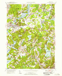
1950 Map of Concord
USGS Topo · Published 1958About this map
Authors Ridge and the iconic Walden Pond State Reservation anchor this mid-century look at one of New England's most significant literary and historical landscapes. At this time, the area around Concord and Lincoln retains its small-town character while reflecting modern developments like the Bedford Airport and the sprawling Cambridge Reservoir. For historians and genealogists, the map reveals the dense layers of the community through its numerous burial sites, including the Old Burying Ground, St Bernards Cem, and Three Cornered Cem.
Find a feature on this map
83 named features on this map. Tap any name to fly to it.
Don’t see what you’re looking for? This feature index may not catch every label — zoom into the map to look around manually.
Map Details
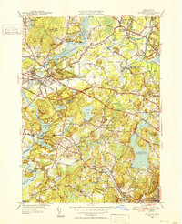
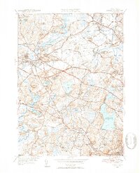
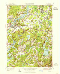
Editions of this 1950 Concord Map
4 editions found
Other maps of this area

1886 · Lawrence
USGS Topo · 1:62,500

1886 · Lowell
USGS Topo · 1:62,500

1886 · Framingham
USGS Topo · 1:62,500

1888 · Lawrence
USGS Topo · 1:62,500

1889 · Framingham
USGS Topo · 1:62,500

1893 · Lowell
USGS Topo · 1:62,500

1893 · Boston
USGS Topo · 1:62,500

1893 · Lawrence
USGS Topo · 1:62,500

1894 · Framingham
USGS Topo · 1:62,500

1903 · Boston
USGS Topo · 1:62,500