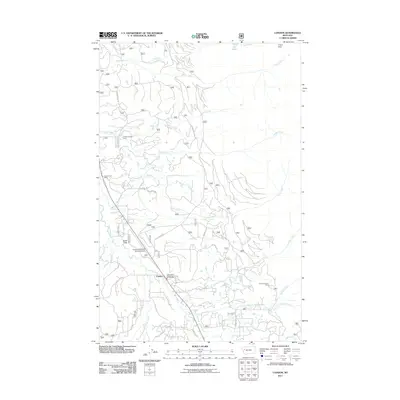
2011 Map of Condon
USGS Topo · Published 2011About this map
The Swan River valley serves as the central artery for this portion of Missoula County, where the settlement of Condon provides a focal point for the surrounding forest landscape. This 2011 survey captures the area's essential infrastructure, including the Condon-US Forest Service Airport and the Condon Post Office. The drainage patterns are clearly defined by numerous tributaries such as Glacier Creek, Rumble Creek, and Smith Creek, which flow down from the high ground near Union Peak and Smith Meadows.
Find a feature on this map
75 named features on this map. Tap any name to fly to it.
Don’t see what you’re looking for? This feature index may not catch every label — zoom into the map to look around manually.
Map Details
Editions of this 2011 Condon Map
This is the sole edition of this map. No revisions or reprints were ever made.
Other maps of this area

1921 · Elbow Lake
USGS Topo · 1:125,000

1955 · Choteau
USGS Topo · 1:250,000

1957 · Choteau
USGS Topo · 1:250,000

1958 · Choteau
USGS Topo · 1:250,000

1962 · Choteau
USGS Topo · 1:250,000

1965 · Peck Lake
USGS Topo · 1:24,000

1965 · Condon
USGS Topo · 1:24,000

1965 · Sunburst Lake
USGS Topo · 1:24,000

1965 · Holland Lake
USGS Topo · 1:24,000

1965 · Swan Peak
USGS Topo · 1:24,000