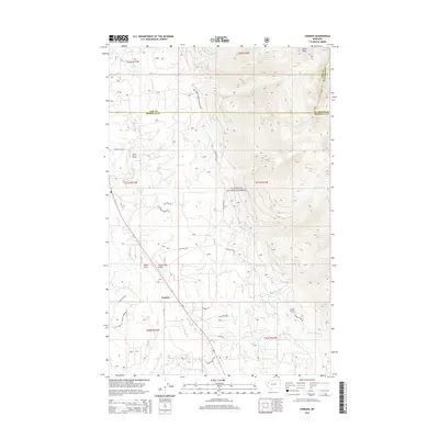
2014 Map of Condon
USGS Topo · Published 2014About this map
The Swan River corridor defines this portion of Missoula County, where the settlement of Condon serves as a central hub for the surrounding valley. This 2014 survey documents a landscape of high-altitude forest management and remote infrastructure within the Flathead National Forest. Significant aviation and fire-watch facilities are evident, including the Condon USFS Airport and two strategic peaks topped by the Condon Lookout Tower and Cooney Lookout Tower. The terrain transitions from the low-lying Smith Flats and Smith Meadows to the high eastern ridges culminating at Union Peak. A dense network of forest roads, such as Falls Creek Rd and Rumble Creek Rd, provides access to numerous drainages including Glacier Cr, Rumble Cr, and McKay Cr. The map also preserves the precise boundaries where Missoula, Lake, and Flathead counties converge.
Find a feature on this map
42 named features on this map. Tap any name to fly to it.
Don’t see what you’re looking for? This feature index may not catch every label — zoom into the map to look around manually.
Map Details
Editions of this 2014 Condon Map
This is the sole edition of this map. No revisions or reprints were ever made.
Other maps of this area

1921 · Elbow Lake
USGS Topo · 1:125,000

1955 · Choteau
USGS Topo · 1:250,000

1957 · Choteau
USGS Topo · 1:250,000

1958 · Choteau
USGS Topo · 1:250,000

1962 · Choteau
USGS Topo · 1:250,000

1965 · Peck Lake
USGS Topo · 1:24,000

1965 · Condon
USGS Topo · 1:24,000

1965 · Sunburst Lake
USGS Topo · 1:24,000

1965 · Holland Lake
USGS Topo · 1:24,000

1965 · Swan Peak
USGS Topo · 1:24,000