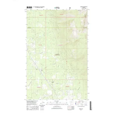
2017 Map of Condon
USGS Topo · Published 2017About this map
Condon serves as the central hub for this portion of the Swan Valley during the late 2010s, situated within the sprawling boundaries of the Flathead National Forest. The map illustrates a landscape where small-scale aviation and mountain access are vital, anchored by the Condon USFS Airport near the geographic center of the sheet. Settlement patterns are largely confined to the valley floor, specifically around Smith Flats and the network of forest roads like Falls Creek Rd and Smith Creek Rd.
Find a feature on this map
35 named features on this map. Tap any name to fly to it.
Don’t see what you’re looking for? This feature index may not catch every label — zoom into the map to look around manually.
Map Details
Editions of this 2017 Condon Map
This is the sole edition of this map. No revisions or reprints were ever made.
Other maps of this area

1921 · Elbow Lake
USGS Topo · 1:125,000

1955 · Choteau
USGS Topo · 1:250,000

1957 · Choteau
USGS Topo · 1:250,000

1958 · Choteau
USGS Topo · 1:250,000

1962 · Choteau
USGS Topo · 1:250,000

1965 · Peck Lake
USGS Topo · 1:24,000

1965 · Condon
USGS Topo · 1:24,000

1965 · Sunburst Lake
USGS Topo · 1:24,000

1965 · Holland Lake
USGS Topo · 1:24,000

1965 · Swan Peak
USGS Topo · 1:24,000