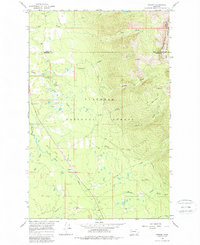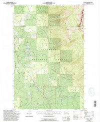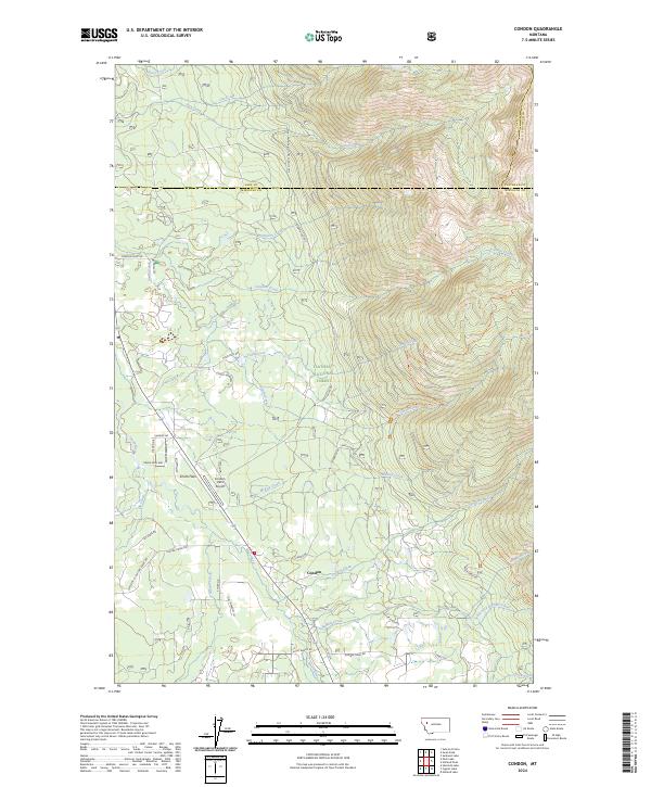
2024 Map of Condon
USGS Topo · Published 2024About this map
Condon and the neighboring settlement of Smith Flats occupy a narrow valley corridor between the high peaks of the Flathead National Forest and the Bob Marshall Wilderness. This late-edition survey details the complex interface of public forest lands and private developments along the Swan River. The map reveals a transition from the backcountry Smith-Little Salmon Trl in the eastern mountains to a network of local residential roads such as Uffda Dr and Guest Ranch Rd near the valley floor. Aviation history is noted at the Condon USFS Airport, reflecting the region's reliance on air access for fire management and backcountry supply. Extensive creek systems, including Glacier Creek and Rumble Creek, define the drainage patterns where the Missoula, Lake, and Flathead county lines converge.
Find a feature on this map
54 named features on this map. Tap any name to fly to it.
Don’t see what you’re looking for? This feature index may not catch every label — zoom into the map to look around manually.
Map Details
Editions of this 2024 Condon Map
This is the sole edition of this map. No revisions or reprints were ever made.
Historical Maps of Condon Through Time
3 maps found