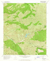
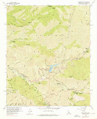
1959 Map of Condor Peak
USGS Topo · Published 1965About this map
Big Tujunga Creek carves a deep path through this portion of the Angeles National Forest, anchored by the infrastructure of the Big Tujunga Dam and its reservoir. The late 1950s landscape is defined by a network of camps and fire management stations, such as the Burbank YMCA Camp and Big Tujunga Station. Mountainous terrain rises sharply toward Mt Lukens and Condor Peak, where firebreaks and ridgeline trails like the North Fork Trail crisscross the slopes.
Find a feature on this map
81 named features on this map. Tap any name to fly to it.
Don’t see what you’re looking for? This feature index may not catch every label — zoom into the map to look around manually.
Map Details
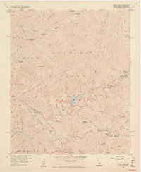
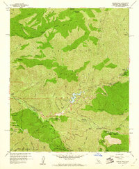
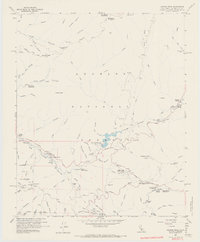
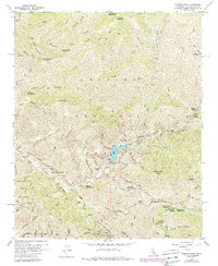
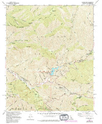
Editions of this 1959 Condor Peak Map
7 editions found
Other maps of this area

1894 · Los Angeles
USGS Topo · 1:62,500

1896 · Pasadena
USGS Topo · 1:62,500

1896 · Santa Monica
USGS Topo · 1:62,500

1898 · Santa Monica
USGS Topo · 1:62,500

1900 · Pasadena
USGS Topo · 1:62,500

1900 · Tujunga
USGS Topo · 1:62,500

1900 · Los Angeles
USGS Topo · 1:62,500

1900 · Fernando
USGS Topo · 1:62,500

1901 · Southern California Sheet No. 1
USGS Topo · 1:250,000

1902 · Santa Monica
USGS Topo · 1:62,500