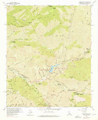
1959 Map of Condor Peak
USGS Topo · Published 1976About this map
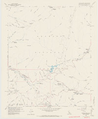
Big Tujunga Dam and its spillway dominate the central drainage of this mountainous section of the Angeles National Forest. The landscape is a network of deep canyons and prominent summits, including Condor Peak, Josephine Peak, and Mt Lukens. The water system is particularly detailed, tracing the winding paths of Big Tujunga Creek and Arroyo Seco through landmarks like The Narrows. While the terrain is steep, human activity is evident in the cluster of camps and stations such as Switzer Camp, Clear Creek School Camp, and the Burbank YMCA Camp. For those tracing local history, the map records the location of the Lodestone Mine in the northeast and the Ybarra Ranch in the west. The presence of numerous firebreaks and gaging stations highlights the active management of this watershed during the mid-twentieth century.
Find a feature on this map
72 named features on this map. Tap any name to fly to it.
Don’t see what you’re looking for? This feature index may not catch every label — zoom into the map to look around manually.
Map Details
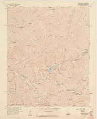
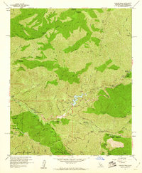
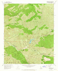
Editions of this 1959 Condor Peak Map
7 editions found
Other maps of this area

1894 · Los Angeles
USGS Topo · 1:62,500

1896 · Pasadena
USGS Topo · 1:62,500

1896 · Santa Monica
USGS Topo · 1:62,500

1898 · Santa Monica
USGS Topo · 1:62,500

1900 · Pasadena
USGS Topo · 1:62,500

1900 · Tujunga
USGS Topo · 1:62,500

1900 · Los Angeles
USGS Topo · 1:62,500

1900 · Fernando
USGS Topo · 1:62,500

1901 · Southern California Sheet No. 1
USGS Topo · 1:250,000

1902 · Santa Monica
USGS Topo · 1:62,500