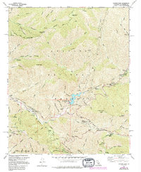
1959 Map of Condor Peak
USGS Topo · Published 1994About this map
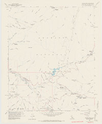
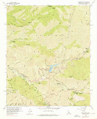
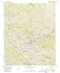
Angeles National Forest dominates this mid-century topographic record, defined by the deep canyons and high peaks of the San Gabriel Mountains. The drainage of Big Tujunga Creek serves as the central artery, featuring the Big Tujunga Dam and its reservoir. Several small settlements and historic ranches like Ybarra Ranch, Wildwood, and Woodwardia appear along the creek beds and ridges, suggesting a landscape shaped by early mountain habitation and seasonal recreation. High-elevation landmarks such as Condor Peak, Mount Lukens, and Josephine Peak provide significant navigational points for the area. The map also captures specialized facilities like the Clear Creek School Camp and the Lodestone Mine, alongside numerous campgrounds and picnic areas such as Vogel Flat and Switzer Camp that illustrate the region's long-standing role as a mountain getaway for the nearby Los Angeles basin.
Find a feature on this map
87 named features on this map. Tap any name to fly to it.
Don’t see what you’re looking for? This feature index may not catch every label — zoom into the map to look around manually.
Map Details
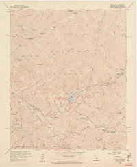
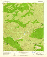
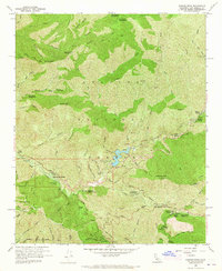
Editions of this 1959 Condor Peak Map
7 editions found
Other maps of this area

1894 · Los Angeles
USGS Topo · 1:62,500

1896 · Pasadena
USGS Topo · 1:62,500

1896 · Santa Monica
USGS Topo · 1:62,500

1898 · Santa Monica
USGS Topo · 1:62,500

1900 · Pasadena
USGS Topo · 1:62,500

1900 · Tujunga
USGS Topo · 1:62,500

1900 · Los Angeles
USGS Topo · 1:62,500

1900 · Fernando
USGS Topo · 1:62,500

1901 · Southern California Sheet No. 1
USGS Topo · 1:250,000

1902 · Santa Monica
USGS Topo · 1:62,500