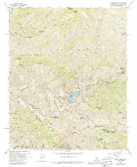
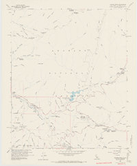
1959 Map of Condor Peak
USGS Topo · Published 1988About this map
The Big Tujunga Reservoir and its surrounding canyon systems dominate this 1959 survey of the San Gabriel Mountains. The map highlights the engineering of the Big Tujunga Dam Spillway Elev 2290 and the vital watershed management near Big Tujunga Station. Social history is well-represented through seasonal and recreational outposts, including the Burbank YMCA Camp, the Clean Creek School Camp, and several Angeles National Forest facilities such as Switzer Station and Deer Spring Campground. Traces of earlier mountain life are visible at Ybarra Ranch and the small settlement of Windsor, while the Lodestone Mine near Mill Creek points to the area's mineral prospects. The northern reaches include Mt. Gleason and Condor Peak, overlooking a network of firebreaks and trails used for forest protection.
Find a feature on this map
75 named features on this map. Tap any name to fly to it.
Don’t see what you’re looking for? This feature index may not catch every label — zoom into the map to look around manually.
Map Details
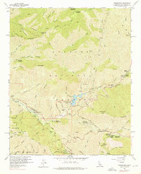
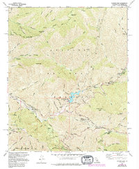
Editions of this 1959 Condor Peak Map
7 editions found
Other maps of this area

1894 · Los Angeles
USGS Topo · 1:62,500

1896 · Pasadena
USGS Topo · 1:62,500

1896 · Santa Monica
USGS Topo · 1:62,500

1898 · Santa Monica
USGS Topo · 1:62,500

1900 · Pasadena
USGS Topo · 1:62,500

1900 · Tujunga
USGS Topo · 1:62,500

1900 · Los Angeles
USGS Topo · 1:62,500

1900 · Fernando
USGS Topo · 1:62,500

1901 · Southern California Sheet No. 1
USGS Topo · 1:250,000

1902 · Santa Monica
USGS Topo · 1:62,500