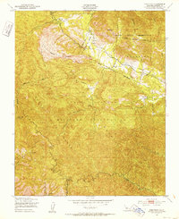
1949 Map of Cone Peak
USGS Topo · Published 1952About this map
Santa Lucia Range dominates this late-1940s survey, where the peaks and canyons of Monterey County meet the administrative boundaries of the Los Padres National Forest and the Hunter Liggett Military Reservation. The map captures a transition between public forest land and military use, marked by a network of drainage systems like Arroyo Seco and the Nacimiento River. High points are anchored by the Cone Peak Lookout Tower, overlooking a landscape of remote camps and private holdings.
Find a feature on this map
31 named features on this map. Tap any name to fly to it.
Don’t see what you’re looking for? This feature index may not catch every label — zoom into the map to look around manually.
Map Details
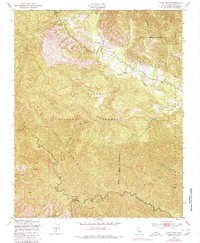
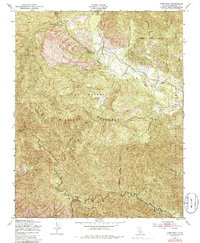
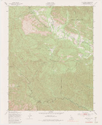
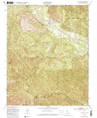
Editions of this 1949 Cone Peak Map
8 editions found
Other maps of this area

1919 · Junipero Serra
USGS Topo · 1:62,500

1921 · Cape San Martin
USGS Topo · 1:62,500

1921 · Lucia
USGS Topo · 1:62,500

1941 · Cape San Martin
USGS Topo · 1:62,500

1941 · Lucia
USGS Topo · 1:62,500

1941 · Junipero Serra
USGS Topo · 1:62,500

1942 · Cape San Martin
USGS Topo · 1:62,500

1947 · Lucia
USGS Topo · 1:62,500

1947 · San Luis Obispo
USGS Topo · 1:250,000

1948 · Santa Cruz
USGS Topo · 1:250,000