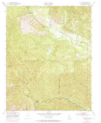
1949 Map of Cone Peak
USGS Topo · Published 1973About this map
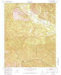
The Santa Lucia Range dominates this mid-century topographical study, reflecting a landscape defined by sharp elevations and critical water resources. At the northern edge, Santa Lucia Memorial Park sits near the headwaters of Arroyo Seco, while the central terrain is marked by isolated outposts like The Indians and the Indian Ranger Sta. These labels, alongside family-named holdings such as Avila Ranch and Merle Ranch, suggest a period of transition where traditional ranching coexisted with increasing federal management of the wilderness.
Find a feature on this map
31 named features on this map. Tap any name to fly to it.
Don’t see what you’re looking for? This feature index may not catch every label — zoom into the map to look around manually.
Map Details
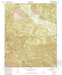
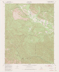
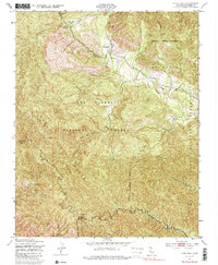
Editions of this 1949 Cone Peak Map
8 editions found
Other maps of this area

1919 · Junipero Serra
USGS Topo · 1:62,500

1921 · Cape San Martin
USGS Topo · 1:62,500

1921 · Lucia
USGS Topo · 1:62,500

1941 · Cape San Martin
USGS Topo · 1:62,500

1941 · Lucia
USGS Topo · 1:62,500

1941 · Junipero Serra
USGS Topo · 1:62,500

1942 · Cape San Martin
USGS Topo · 1:62,500

1947 · Lucia
USGS Topo · 1:62,500

1947 · San Luis Obispo
USGS Topo · 1:250,000

1948 · Santa Cruz
USGS Topo · 1:250,000