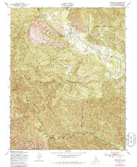
1949 Map of Cone Peak
USGS Topo · Published 1986About this map
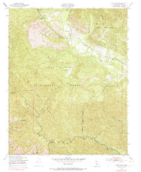
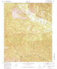
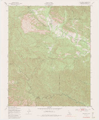
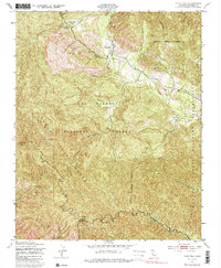
Santa Lucia Range peaks dominate this mid-century survey of the California coast's interior, where the terrain is defined by deep canyons and isolated outposts. The prominent Cone Peak and its associated Lookout Tower overlook a landscape transitioning from the Los Padres National Forest into the Hunter Liggett Military Reservation to the southeast. Settled pockets like The Indians and Avila Ranch sit along the winding drainage of the North Fork San Antonio River, while the northern portion of the map is marked by the Arroyo Seco and the Santa Lucia Memorial Park. The map documents a primitive transportation and communication network, illustrated by a prominent telephone line and remote locations such as Vicente Camp. Water sources are critical landmarks here, with named springs like Redwood Spring and Carrots Spring providing vital points of reference in the arid high country above the Nacimiento River.
Find a feature on this map
30 named features on this map. Tap any name to fly to it.
Don’t see what you’re looking for? This feature index may not catch every label — zoom into the map to look around manually.
Map Details
Editions of this 1949 Cone Peak Map
8 editions found
Other maps of this area

1919 · Junipero Serra
USGS Topo · 1:62,500

1921 · Cape San Martin
USGS Topo · 1:62,500

1921 · Lucia
USGS Topo · 1:62,500

1941 · Cape San Martin
USGS Topo · 1:62,500

1941 · Lucia
USGS Topo · 1:62,500

1941 · Junipero Serra
USGS Topo · 1:62,500

1942 · Cape San Martin
USGS Topo · 1:62,500

1947 · Lucia
USGS Topo · 1:62,500

1947 · San Luis Obispo
USGS Topo · 1:250,000

1948 · Santa Cruz
USGS Topo · 1:250,000