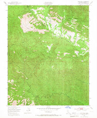
1949 Map of Cone Peak
USGS Topo · Published 1967About this map
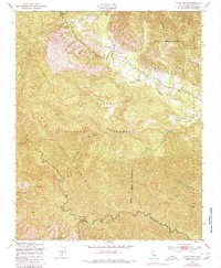
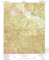
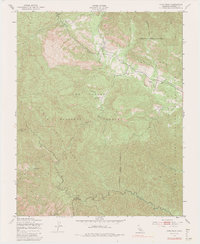
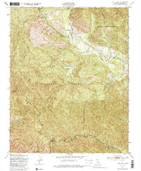
Los Padres National Forest dominates this 1949 topographic study, where the peaks and canyons of the Santa Lucia Range meet the operational boundaries of the Hunter Liggett Military Reservation. The map captures a moment in the mid-century management of these lands, featuring the Cone Peak Lookout Tower standing watch over the watershed of the Nacimiento River and Arroyo Seco. Small, isolated settlements and outposts like The Indians, Avila Ranch, and Merle Ranch are documented along the winding watercourses, alongside the Indian Ranger Sta. The presence of Santa Lucia Memorial Park and Vicente Camp highlights the area's dual role as both a military training ground and a site for mountain recreation. Remote springs such as Redwood Spring and Carrizo Spring provide essential water sources in this complex terrain of gulches and canyons.
Find a feature on this map
30 named features on this map. Tap any name to fly to it.
Don’t see what you’re looking for? This feature index may not catch every label — zoom into the map to look around manually.
Map Details
Editions of this 1949 Cone Peak Map
8 editions found
Other maps of this area

1919 · Junipero Serra
USGS Topo · 1:62,500

1921 · Cape San Martin
USGS Topo · 1:62,500

1921 · Lucia
USGS Topo · 1:62,500

1941 · Cape San Martin
USGS Topo · 1:62,500

1941 · Lucia
USGS Topo · 1:62,500

1941 · Junipero Serra
USGS Topo · 1:62,500

1942 · Cape San Martin
USGS Topo · 1:62,500

1947 · Lucia
USGS Topo · 1:62,500

1947 · San Luis Obispo
USGS Topo · 1:250,000

1948 · Santa Cruz
USGS Topo · 1:250,000