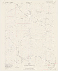
1949 Map of Cone Peak
USGS Topo · Published 1967About this map
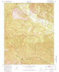
Santa Lucia Range dominates this landscape, rising steeply toward the summit of Cone Peak and its accompanying Lookout Tower. This 1949 survey, mapped by the Army Map Service, documents a transition in land use as the Hunter Liggett Military Reservation and Los Padres National Forest consolidate vast tracts of former ranching territory. The map traces the upper reaches of the San Antonio River and Nacimiento River, which cut through deep canyons such as Hare Canyon and Wizard Gulch. Scattered outposts like The Indians, Indian Ranger Sta, and Santa Lucia Memorial Park mark the sparse human presence in this rugged interior. The placement of Avila Ranch and Merle Ranch relative to the military and forest boundaries provides a clear look at how private holdings were maintained or absorbed within federal administrative lines at the midpoint of the century.
Find a feature on this map
32 named features on this map. Tap any name to fly to it.
Don’t see what you’re looking for? This feature index may not catch every label — zoom into the map to look around manually.
Map Details
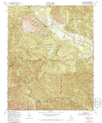
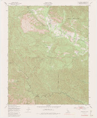
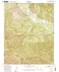
Editions of this 1949 Cone Peak Map
8 editions found
Other maps of this area

1919 · Junipero Serra
USGS Topo · 1:62,500

1921 · Cape San Martin
USGS Topo · 1:62,500

1921 · Lucia
USGS Topo · 1:62,500

1941 · Cape San Martin
USGS Topo · 1:62,500

1941 · Lucia
USGS Topo · 1:62,500

1941 · Junipero Serra
USGS Topo · 1:62,500

1942 · Cape San Martin
USGS Topo · 1:62,500

1947 · Lucia
USGS Topo · 1:62,500

1947 · San Luis Obispo
USGS Topo · 1:250,000

1948 · Santa Cruz
USGS Topo · 1:250,000