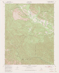
1949 Map of Cone Peak
USGS Topo · Published 1991About this map
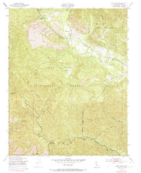
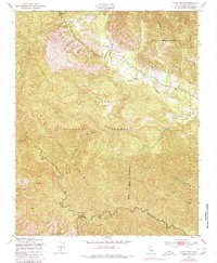
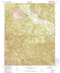
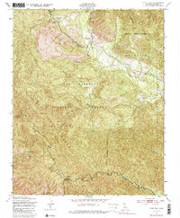
The Santa Lucia Range dominates this mid-century landscape, where steep topography creates a natural boundary between public forest lands and military training grounds. In the late 1940s, the Hunter Liggett Military Reservation and the Milpitas Military Reservation occupied the eastern portion of the sheet, while the Los Padres National Forest protected the high ridges to the west. Evidence of early settlement and backcountry management is found at The Indians, the Indian Ranger Sta, and isolated family holdings like Avila Ranch and Merle Ranch.
Find a feature on this map
31 named features on this map. Tap any name to fly to it.
Don’t see what you’re looking for? This feature index may not catch every label — zoom into the map to look around manually.
Map Details
Editions of this 1949 Cone Peak Map
8 editions found
Other maps of this area

1919 · Junipero Serra
USGS Topo · 1:62,500

1921 · Cape San Martin
USGS Topo · 1:62,500

1921 · Lucia
USGS Topo · 1:62,500

1941 · Cape San Martin
USGS Topo · 1:62,500

1941 · Lucia
USGS Topo · 1:62,500

1941 · Junipero Serra
USGS Topo · 1:62,500

1942 · Cape San Martin
USGS Topo · 1:62,500

1947 · Lucia
USGS Topo · 1:62,500

1947 · San Luis Obispo
USGS Topo · 1:250,000

1948 · Santa Cruz
USGS Topo · 1:250,000