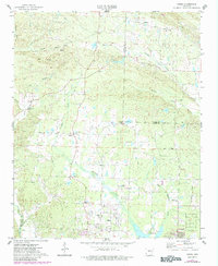
1974 Map of Congo
USGS Topo · Published 1984About this map
The Hurricane Creek watershed defines this Central Arkansas landscape, where small rural communities like Avilla and Congo are linked by a network of winding country roads and the established Base Line. The map captures a period of transition in the 1970s and 1980s, documenting local landmarks such as the Landing Strip and Substation alongside traditional community centers. Numerous houses of worship, including Lawson Ch and Pilgrim Rest Ch, serve as focal points for these settlements.
Find a feature on this map
37 named features on this map. Tap any name to fly to it.
Don’t see what you’re looking for? This feature index may not catch every label — zoom into the map to look around manually.
Map Details
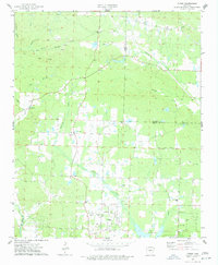
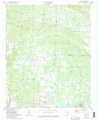
Editions of this 1974 Congo Map
3 editions found
Other maps of this area

1890 · Benton
USGS Topo · 1:125,000

1891 · Little Rock
USGS Topo · 1:125,000

1893 · Little Rock
USGS Topo · 1:125,000

1894 · Benton
USGS Topo · 1:125,000

1935 · Alexander
USGS Topo · 1:48,000

1938 · Benton
USGS Topo · 1:48,000

1941 · Alexander
USGS Topo · 1:62,500

1943 · Pinnacle Mtn
USGS Topo · 1:31,680

1944 · Benton
USGS Topo · 1:62,500

1944 · Alexander
USGS Topo · 1:31,680