
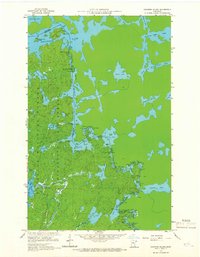
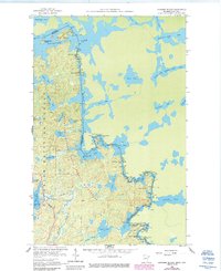
1959 Map of Conners Island
USGS Topo · Published 1962About this map
The United States-Canada international boundary follows the waterway of the Granite River as it winds northward from Granite Lake toward Saganaga Lake. This 1959 survey records the intricate network of portages and rapids essential for navigating this lakeland corridor within the Superior National Forest and Minnesota State Forest. Notable features include the Gneiss Lake Portage and Blueberry Portage, which bypass turbulent stretches like Horsetail Rapids and Saganaga Falls. The landscape is dominated by glacial activity, visible in the numerous islands such as Conners Island and Oskenonton Island. While the area is largely wilderness, the presence of a Gravel Pit and Sandpit near Onagon Lake indicates localized resource extraction during this era, supporting the remote infrastructure of the Boundary Waters region.
Find a feature on this map
48 named features on this map. Tap any name to fly to it.
Don’t see what you’re looking for? This feature index may not catch every label — zoom into the map to look around manually.
Map Details
Editions of this 1959 Conners Island Map
3 editions found
Other maps of this area

1957 · Quetico
USGS Topo · 1:250,000

1959 · Munker Island
USGS Topo · 1:24,000

1959 · Gillis Lake
USGS Topo · 1:24,000
1960 · Gunflint Lake
USGS Topo · 1:24,000
1960 · Long Island Lake
USGS Topo · 1:24,000

1968 · Quetico
USGS Topo · 1:250,000

1976 · Saganaga Lake
USGS Topo · 1:100,000
2011 · Gunflint Lake
USGS Topo · 1:24,000
2011 · Gillis Lake
USGS Topo · 1:24,000
2011 · Long Island Lake
USGS Topo · 1:24,000