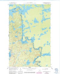
1959 Map of Conners Island
USGS Topo · Published 1986About this map
Saganaga Lake and the intricate waterways of the Minnesota-Ontario border dominate this survey, which captures the lake-country landscape as it appeared in the late 1950s. The international boundary winds through the Granite River and Maraboeuf Lake, delineating the edge of Superior National Forest. This region, documented just as the modern preservation of the Boundary Waters Canoe Area Wilderness was taking shape, shows a landscape defined by water and portage routes rather than roads. The Gunflint Trail provides a singular point of terrestrial access near Sea Gull Lake in the southwest corner. Named features like Conners Island and Oskenonton Island illustrate the archipelago character of these northern waters, where the Cook Co Thunder Bay District line meets the Canadian wilderness.
Find a feature on this map
40 named features on this map. Tap any name to fly to it.
Don’t see what you’re looking for? This feature index may not catch every label — zoom into the map to look around manually.
Map Details
Editions of this 1959 Conners Island Map
3 editions found
Other maps of this area

1957 · Quetico
USGS Topo · 1:250,000

1959 · Munker Island
USGS Topo · 1:24,000

1959 · Conners Island
USGS Topo · 1:24,000

1959 · Gillis Lake
USGS Topo · 1:24,000
1960 · Gunflint Lake
USGS Topo · 1:24,000
1960 · Long Island Lake
USGS Topo · 1:24,000

1968 · Quetico
USGS Topo · 1:250,000

1976 · Saganaga Lake
USGS Topo · 1:100,000
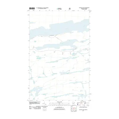
2011 · Gunflint Lake
USGS Topo · 1:24,000
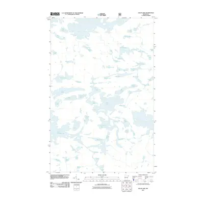
2011 · Gillis Lake
USGS Topo · 1:24,000