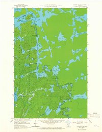
1959 Map of Conners Island
USGS Topo · Published 1966About this map
The United States Canada border defines this boundary region, where the Granite River and a complex network of waterways connect the deep interior of the Superior National Forest. This 1959 field-checked survey reveals a landscape largely shaped by water and the historic portage routes that facilitate travel between lakes. Prominent features like Saganaga Lake and Maraboeuf Lake dominate the terrain, joined by narrow channels and dangerous water features such as Saganaga Falls and Horsetail Rapids.
Find a feature on this map
48 named features on this map. Tap any name to fly to it.
Don’t see what you’re looking for? This feature index may not catch every label — zoom into the map to look around manually.
Map Details
Editions of this 1959 Conners Island Map
3 editions found
Other maps of this area

1957 · Quetico
USGS Topo · 1:250,000

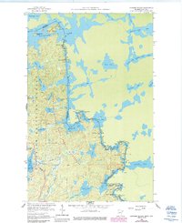
1959 · Munker Island
USGS Topo · 1:24,000

1959 · Conners Island
USGS Topo · 1:24,000

1959 · Gillis Lake
USGS Topo · 1:24,000
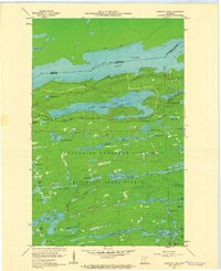
1960 · Gunflint Lake
USGS Topo · 1:24,000
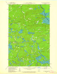
1960 · Long Island Lake
USGS Topo · 1:24,000

1968 · Quetico
USGS Topo · 1:250,000

1976 · Saganaga Lake
USGS Topo · 1:100,000
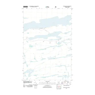
2011 · Gunflint Lake
USGS Topo · 1:24,000
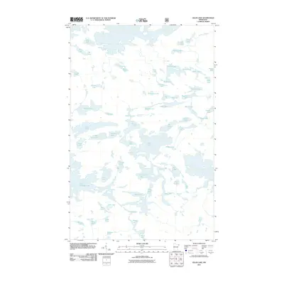
2011 · Gillis Lake
USGS Topo · 1:24,000