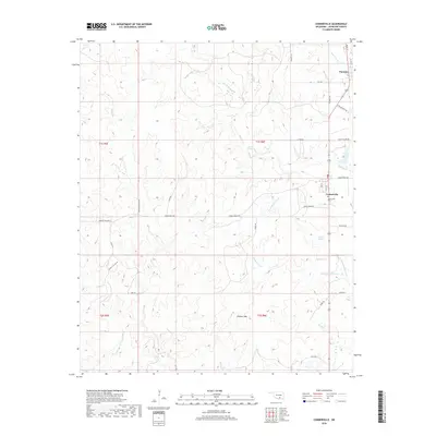
2018 Map of Connerville
USGS Topo · Published 2018About this map
Connerville and Pontotoc serve as the primary population centers in this rural Johnston County landscape, situated along a network of country roads including Harris Ranch Rd and Triangle Rd. The geography is defined by a series of spring-fed waterways, most notably the Blue River, which is supplemented by Tisdell Spring and the Diamond Spring Br. This 2018 survey reveals a terrain of varied elevations, capped by the prominent Lookout Mtn in the southern portion of the quadrangle. Local heritage is preserved at the Connerville Cem, while names like Indian Village Rd and White Elephant Rd hint at the area's deep history. The map trace the path of several creeks, such as Pennington Cr and Little Blue Cr, as they wind through the cattle ranching and residential land south of the Pontotoc community.
Find a feature on this map
42 named features on this map. Tap any name to fly to it.
Don’t see what you’re looking for? This feature index may not catch every label — zoom into the map to look around manually.
Map Details
Editions of this 2018 Connerville Map
This is the sole edition of this map. No revisions or reprints were ever made.
Other maps of this area

1901 · Stonewall
USGS Topo · 1:125,000

1901 · Tishomingo
USGS Topo · 1:125,000

1957 · Ardmore
USGS Topo · 1:250,000

1963 · Ardmore
USGS Topo · 1:250,000

1963 · Mill Creek
USGS Topo · 1:24,000

1963 · Troy
USGS Topo · 1:24,000
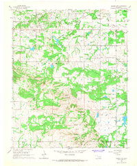
1966 · Harden City
USGS Topo · 1:24,000

1967 · Roff South
USGS Topo · 1:24,000

1967 · Connerville SE
USGS Topo · 1:24,000

1967 · Connerville
USGS Topo · 1:24,000