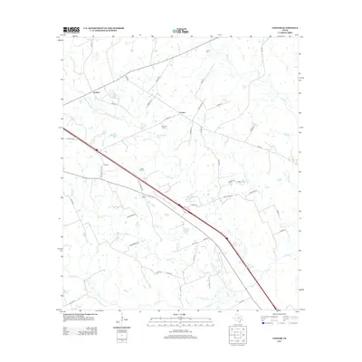
2013 Map of Connor
USGS Topo · Published 2013About this map
Jenkins and Connor serve as central points in this Madison County landscape, where the terrain is defined by a dense network of creek branches and small local lakes. The area around Rocky Hill and Rocky Hill Cem highlights the region's undulating topography, while several other family-named burial grounds like Larrison Cem, Burrows Cem, and Farris Cem are scattered across the quadrangle, offering significant points of interest for genealogical research. Water features such as Bedias Cr, Collard Cr, and Larrison Cr drain the territory, often paralleled by rural routes like FM-1428 and Co HWY-124. The presence of small impoundments like Burke Sullivan Lake and Springboard Lake suggests a landscape managed for local ranching or recreation in the early twenty-first century.
Find a feature on this map
55 named features on this map. Tap any name to fly to it.
Don’t see what you’re looking for? This feature index may not catch every label — zoom into the map to look around manually.
Map Details
Editions of this 2013 Connor Map
This is the sole edition of this map. No revisions or reprints were ever made.
Other maps of this area

1953 · Palestine
USGS Topo · 1:250,000

1954 · Beaumont
USGS Topo · 1:250,000

1957 · Beaumont
USGS Topo · 1:250,000

1957 · Palestine
USGS Topo · 1:250,000

1962 · Connor
USGS Topo · 1:24,000

1962 · Baker Lake
USGS Topo · 1:24,000

1963 · Bedias
USGS Topo · 1:24,000

1963 · Steep Branch
USGS Topo · 1:24,000

1963 · Crabbs Prairie
USGS Topo · 1:24,000

1963 · Madisonville
USGS Topo · 1:24,000