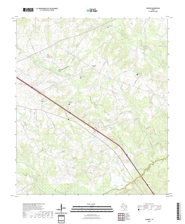
2022 Map of Connor
USGS Topo · Published 2022About this map
Connor and the surrounding ranchlands of Madison County are defined by a network of creek drainages and rural homesteads. This landscape is marked by numerous family and community burial sites, including Larrison Cem, Rayburn Cem, and Farris Cem, which provide significant genealogical touchstones for the region. The modern corridor of I-45 cuts diagonally across the terrain, contrasting with the winding paths of Pooles Cr and Bedias Cr. Local landmarks like the Lazy 8 Flying Ranch and several private water bodies, such as Springboard Lake and Burke- Sullivan Lake, illustrate the transition from traditional agriculture to specialized land use. The map also records the boundary line where Madison meets Walker County, south of the Collard Cr basin.
Find a feature on this map
58 named features on this map. Tap any name to fly to it.
Don’t see what you’re looking for? This feature index may not catch every label — zoom into the map to look around manually.
Map Details
Editions of this 2022 Connor Map
This is the sole edition of this map. No revisions or reprints were ever made.
Other maps of this area

1953 · Palestine
USGS Topo · 1:250,000

1954 · Beaumont
USGS Topo · 1:250,000

1957 · Beaumont
USGS Topo · 1:250,000

1957 · Palestine
USGS Topo · 1:250,000

1962 · Connor
USGS Topo · 1:24,000

1962 · Baker Lake
USGS Topo · 1:24,000

1963 · Bedias
USGS Topo · 1:24,000

1963 · Steep Branch
USGS Topo · 1:24,000

1963 · Crabbs Prairie
USGS Topo · 1:24,000

1963 · Madisonville
USGS Topo · 1:24,000