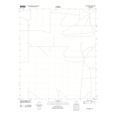
2010 Map of Connor Well
USGS Topo · Published 2010About this map
Connor Well serves as the namesake for this area of Chaves County, where a sparse network of ranching outposts and camps defines the landscape. The layout reflects the traditional land use of eastern New Mexico at the start of the 21st century, with large holdings like Wade Ranch, Malstrom Ranch, and Culp Ranch connected by long stretches of unpaved roads and distinct boundaries. These settlements are often isolated from one another, relying on localized water sources and established camps such as Vest Camp or King Camp to manage the expansive territory.
Find a feature on this map
10 named features on this map. Tap any name to fly to it.
Don’t see what you’re looking for? This feature index may not catch every label — zoom into the map to look around manually.
Map Details
Editions of this 2010 Connor Well Map
This is the sole edition of this map. No revisions or reprints were ever made.
Other maps of this area

1949 · Wade Ranch
USGS Topo · 1:24,000

1949 · Malstrom Ranch
USGS Topo · 1:24,000

1951 · Ninemile Well
USGS Topo · 1:24,000

1951 · King Camp
USGS Topo · 1:24,000

1952 · Connor Well
USGS Topo · 1:24,000

1952 · Bar C Bar Ranch
USGS Topo · 1:24,000

1954 · Brownfield
USGS Topo · 1:250,000

1955 · Roswell
USGS Topo · 1:250,000

1958 · Brownfield
USGS Topo · 1:250,000

1958 · Roswell
USGS Topo · 1:250,000