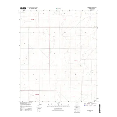
2013 Map of Connor Well
USGS Topo · Published 2013About this map
Connor Well and the surrounding ranchlands of Chaves County define this portion of the New Mexico landscape. The area is characterized by a network of established cattle operations and remote outposts, including the Bar C Bar Ranch, Malstrom Ranch, and Wade Ranch. These locations, along with specialized sites like Vest Camp and King Camp, illustrate the continued importance of livestock and land management in the high plains region. The terrain is marked by geographic landmarks such as Derrick Draw and Cedar Point, with Consuelo Rd providing one of the few named transportation arteries through the grazing lands. This survey serves as a modern record of the scattered but vital human infrastructure required to maintain large-scale ranching in an arid environment.
Find a feature on this map
17 named features on this map. Tap any name to fly to it.
Don’t see what you’re looking for? This feature index may not catch every label — zoom into the map to look around manually.
Map Details
Editions of this 2013 Connor Well Map
This is the sole edition of this map. No revisions or reprints were ever made.
Other maps of this area

1949 · Wade Ranch
USGS Topo · 1:24,000

1949 · Malstrom Ranch
USGS Topo · 1:24,000

1951 · Ninemile Well
USGS Topo · 1:24,000

1951 · King Camp
USGS Topo · 1:24,000

1952 · Connor Well
USGS Topo · 1:24,000

1952 · Bar C Bar Ranch
USGS Topo · 1:24,000

1954 · Brownfield
USGS Topo · 1:250,000

1955 · Roswell
USGS Topo · 1:250,000

1958 · Brownfield
USGS Topo · 1:250,000

1958 · Roswell
USGS Topo · 1:250,000