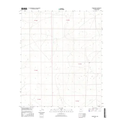
2017 Map of Connor Well
USGS Topo · Published 2017About this map
Connor Well stands as the primary named landmark in this expanse of the Pecos Valley region, situated within the survey boundaries of t13s r29e. The landscape is defined by its sectional grid system, as established by the Public Land Survey System, which divides the terrain into townships such as t12s r28e and t14s r29e. This 2017 edition reflects the modern character of the Chaves County backcountry, where traditional land divisions meet contemporary infrastructure like Co Rd 165. The map provides a detailed view of the local topography and water-resource markers essential for life in this arid part of New Mexico, capturing the enduring isolation of these ranchlands.
Find a feature on this map
8 named features on this map. Tap any name to fly to it.
Don’t see what you’re looking for? This feature index may not catch every label — zoom into the map to look around manually.
Map Details
Editions of this 2017 Connor Well Map
This is the sole edition of this map. No revisions or reprints were ever made.
Other maps of this area

1949 · Wade Ranch
USGS Topo · 1:24,000

1949 · Malstrom Ranch
USGS Topo · 1:24,000

1951 · Ninemile Well
USGS Topo · 1:24,000

1951 · King Camp
USGS Topo · 1:24,000

1952 · Connor Well
USGS Topo · 1:24,000

1952 · Bar C Bar Ranch
USGS Topo · 1:24,000

1954 · Brownfield
USGS Topo · 1:250,000

1955 · Roswell
USGS Topo · 1:250,000

1958 · Brownfield
USGS Topo · 1:250,000

1958 · Roswell
USGS Topo · 1:250,000