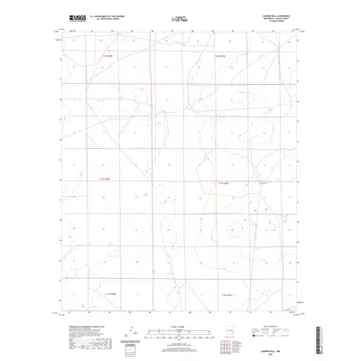
2020 Map of Connor Well
USGS Topo · Published 2020About this map
Connor Well serves as the namesake landmark of this high-desert landscape in Chaves County, characterized by a complex Public Land Survey System network of townships and ranges. This 2020 topographic record depicts the area during a period of modern ranching and infrastructure, where remote resource points remain central to the region's geography. The map traces the paths of local thoroughfares such as Co Rd 165, which provides access through the expansive sections of t13s r29e, t12s r29e, and surrounding townships. These legal and physical boundaries define the distribution of land and water in a landscape where specific wells are critical historical and functional anchors.
Find a feature on this map
8 named features on this map. Tap any name to fly to it.
Don’t see what you’re looking for? This feature index may not catch every label — zoom into the map to look around manually.
Map Details
Editions of this 2020 Connor Well Map
This is the sole edition of this map. No revisions or reprints were ever made.
Other maps of this area

1949 · Wade Ranch
USGS Topo · 1:24,000

1949 · Malstrom Ranch
USGS Topo · 1:24,000

1951 · Ninemile Well
USGS Topo · 1:24,000

1951 · King Camp
USGS Topo · 1:24,000

1952 · Connor Well
USGS Topo · 1:24,000

1952 · Bar C Bar Ranch
USGS Topo · 1:24,000

1954 · Brownfield
USGS Topo · 1:250,000

1955 · Roswell
USGS Topo · 1:250,000

1958 · Brownfield
USGS Topo · 1:250,000

1958 · Roswell
USGS Topo · 1:250,000