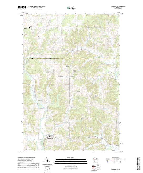
2022 Map of Connorsville
USGS Topo · Published 2022About this map
The Barron Co and Dunn Co line divides this agricultural landscape, where small crossroads settlements and rural congregations define the local geography. Connorsville serves as a southern anchor, located near the confluence of Bollen Cr and the S Fork Hay River. Further north, the settlement of Reeve sits near the headwaters of Connors Cr, while Graytown occupies the western reaches of the quadrangle.
Find a feature on this map
51 named features on this map. Tap any name to fly to it.
Don’t see what you’re looking for? This feature index may not catch every label — zoom into the map to look around manually.
Map Details
Editions of this 2022 Connorsville Map
This is the sole edition of this map. No revisions or reprints were ever made.
Historical Maps of Prairie Farm Through Time
28 maps found

1972 Colfax South
Dunn County, WI

1972 Durand North
Dunn County, WI

1972 Elk Creek Lake
Dunn County, WI
1972 Falls City
Dunn County, WI

1972 Menomonie North
Dunn County, WI
1972 Menomonie South
Dunn County, WI

1972 Meridean
Dunn County, WI

1972 Rusk
Dunn County, WI

1974 Weston
Dunn County, WI

1975 Colfax North
Dunn County, WI

1975 Connorsville
Dunn County, WI

1975 Norton
Dunn County, WI

1975 Ridgeland NE
Dunn County, WI

1975 Sand Creek
Dunn County, WI
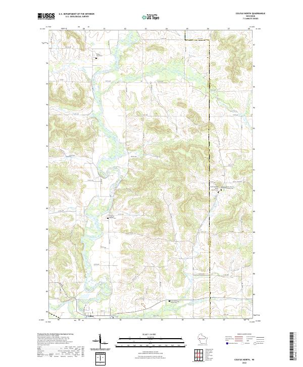
2022 Colfax North
Dunn County, WI
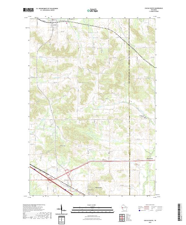
2022 Colfax South
Dunn County, WI
2022 Connorsville
Dunn County, WI
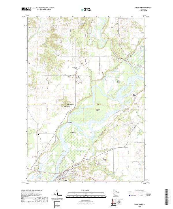
2022 Durand North
Dunn County, WI
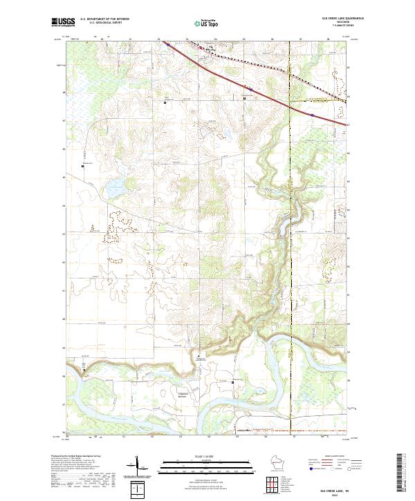
2022 Elk Creek Lake
Dunn County, WI
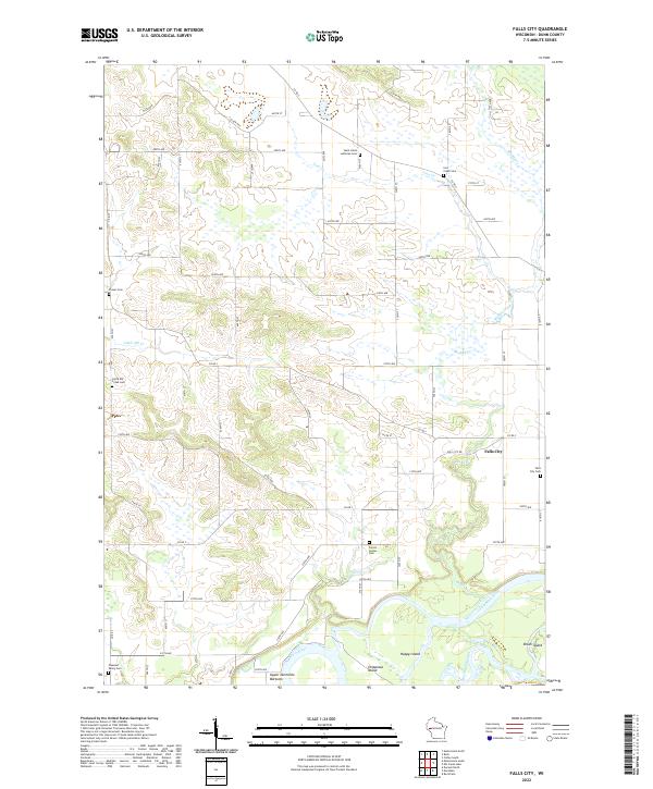
2022 Falls City
Dunn County, WI
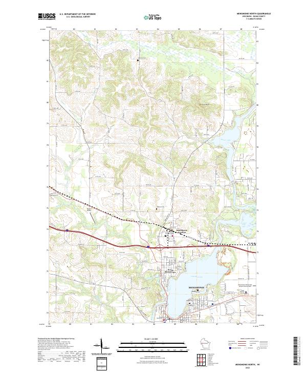
2022 Menomonie North
Dunn County, WI
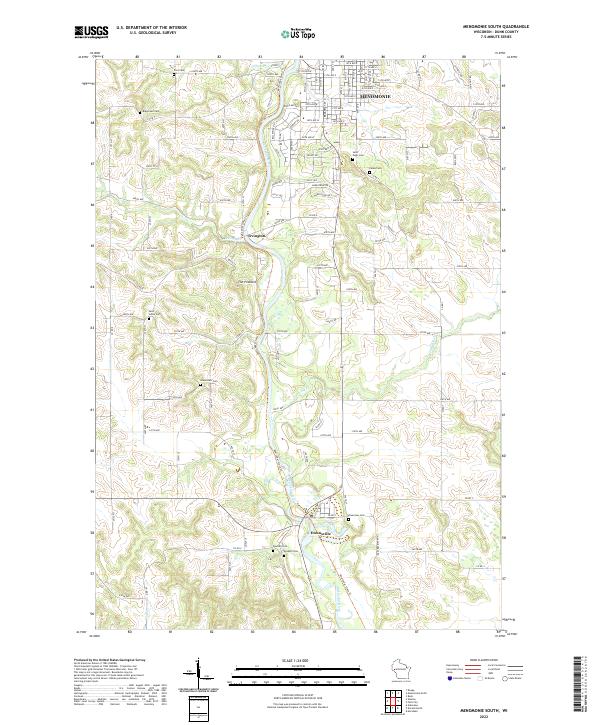
2022 Menomonie South
Dunn County, WI
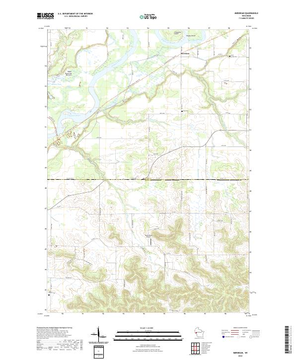
2022 Meridean
Dunn County, WI
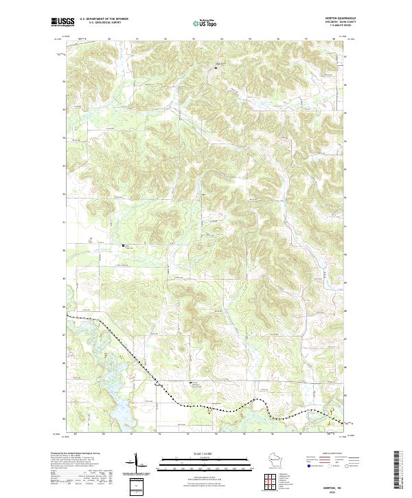
2022 Norton
Dunn County, WI
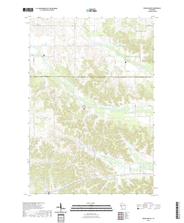
2022 Ridgeland NE
Dunn County, WI
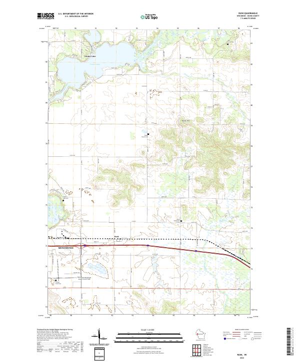
2022 Rusk
Dunn County, WI
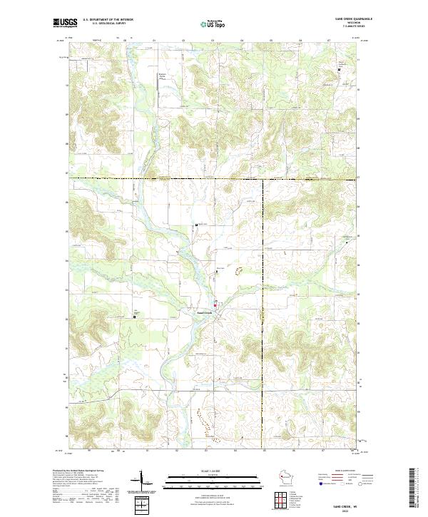
2022 Sand Creek
Dunn County, WI
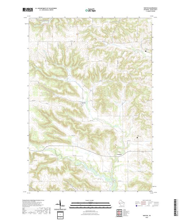
2022 Weston
Dunn County, WI