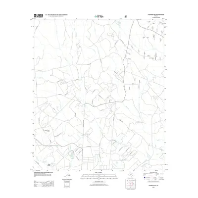
2013 Map of Conroe NE
USGS Topo · Published 2013About this map
Peach Cr and its numerous tributaries, including Turkey Cr and Boggy Cr, define the drainage patterns of this Montgomery County landscape. In the southern reach of the map, Steep Hollow and McRae Lake sit amidst a network of rural roads that hint at the area's residential growth. The northern section remains more focused on the natural environment and local outposts like Nebletts Hunter Camp, situated near the headwaters of Nebletts Cr.
Find a feature on this map
56 named features on this map. Tap any name to fly to it.
Don’t see what you’re looking for? This feature index may not catch every label — zoom into the map to look around manually.
Map Details
Editions of this 2013 Conroe NE Map
This is the sole edition of this map. No revisions or reprints were ever made.
Other maps of this area

1954 · Beaumont
USGS Topo · 1:250,000

1957 · Beaumont
USGS Topo · 1:250,000

1958 · Conroe
USGS Topo · 1:24,000

1958 · Fostoria
USGS Topo · 1:24,000

1958 · Bear Creek
USGS Topo · 1:24,000

1959 · Cut and Shoot
USGS Topo · 1:24,000

1959 · Conroe NE
USGS Topo · 1:24,000

1960 · Willis
USGS Topo · 1:24,000

1960 · Maynard
USGS Topo · 1:24,000

1960 · New Waverly
USGS Topo · 1:24,000