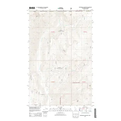
2013 Map of Continental Mountain
USGS Topo · Published 2013About this map
Upper Priest River defines the remote northern character of this mountainous landscape along the international boundary between Idaho and British Columbia. Mapping in the Kanisku National Forest area reveals a rugged wilderness environment where the river is the primary hydrological feature, punctuated by the striking Upper Priest Falls. This 2013 survey provides a digital-era look at the high-elevation terrain near the Canadian border, documenting the drainage patterns and significant landmarks that remain largely untouched by dense settlement. The map serves as a detailed reference for the natural geography of the Salmo Valley region, where the steep topography dictated the historic lack of industrial or residential development.
Find a feature on this map
2 named features on this map. Tap any name to fly to it.
Don’t see what you’re looking for? This feature index may not catch every label — zoom into the map to look around manually.
Map Details
Editions of this 2013 Continental Mountain Map
This is the sole edition of this map. No revisions or reprints were ever made.
Other maps of this area

1911 · Priest Lake
USGS Topo · 1:250,000

1913 · Priest Lake
USGS Topo · 1:250,000

1934 · Metaline
USGS Topo · 1:125,000

1942 · Metaline
USGS Topo · 1:125,000

1958 · Sandpoint
USGS Topo · 1:250,000

1963 · Sandpoint
USGS Topo · 1:250,000

1967 · Salmo Mtn.
USGS Topo · 1:24,000

1967 · Helmer Mtn
USGS Topo · 1:24,000
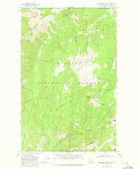
1968 · Continental Mtn
USGS Topo · 1:24,000

1969 · Grass Mountain
USGS Topo · 1:24,000