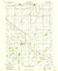
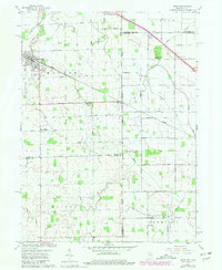
1960 Map of Convoy
USGS Topo · Published 1961About this map
Convoy serves as the central hub of this Northwest Ohio agricultural landscape, situated at the intersection of a significant Pennsylvania railroad line and a grid of rural section roads. The map reveals a community deeply rooted in its local institutions, evidenced by the presence of the Convoy Union Jr High Sch and a series of neighborhood spiritual centers like Sugar Ridge Ch and Asbury Ch. The terrain is defined by the subtle drainage of Blue Creek, Middle Creek, and Prairie Creek, which carve gentle paths through the farmland.
Find a feature on this map
41 named features on this map. Tap any name to fly to it.
Don’t see what you’re looking for? This feature index may not catch every label — zoom into the map to look around manually.
Map Details
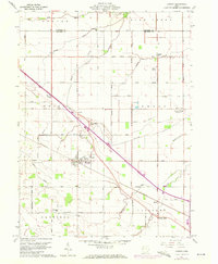
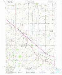
Editions of this 1960 Convoy Map
3 editions found
Other maps of this area
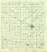
1914 · Van Wert
USGS Topo · 1:62,500
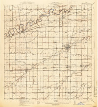
1914 · Paulding
USGS Topo · 1:62,500
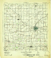
1944 · Van Wert
USGS Topo · 1:62,500
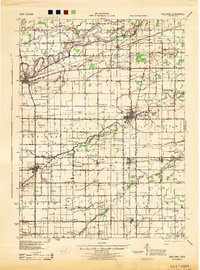
1944 · Paulding
USGS Topo · 1:62,500

1953 · Fort Wayne
USGS Topo · 1:250,000

1953 · Muncie
USGS Topo · 1:250,000

1956 · Muncie
USGS Topo · 1:250,000

1956 · Fort Wayne
USGS Topo · 1:250,000
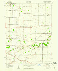
1958 · Woodburn South
USGS Topo · 1:24,000
1960 · Dixon
USGS Topo · 1:24,000