
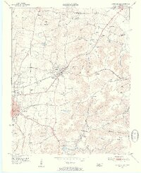
1953 Map of Cookeville East
USGS Topo · Published 1955About this map
The town of Cookeville serves as the focal point for this mid-century survey of the Eastern Highland Rim, situated where the Tennessee Central Railroad cuts across the undulating terrain. The landscape is a network of small upland communities and family landmarks, with Algood emerging as a significant rail-side settlement. The transition from agricultural valley to forested ridge is marked by local names such as Green Mountain and Algood Mountain, while the numerous hollows—like Wiser Hollow and Pointer Hollow—indicate the deeply dissected nature of the local geography.
Find a feature on this map
79 named features on this map. Tap any name to fly to it.
Don’t see what you’re looking for? This feature index may not catch every label — zoom into the map to look around manually.
Map Details
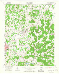
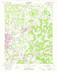
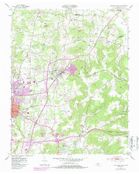
Editions of this 1953 Cookeville East Map
5 editions found
Other maps of this area

1897 · Standingstone
USGS Topo · 1:125,000

1898 · Standingstone
USGS Topo · 1:125,000

1925 · Gainesboro
USGS Topo · 1:62,500

1929 · Gainesboro
USGS Topo · 1:62,500

1943 · Cookeville
USGS Topo · 1:100,000

1944 · Cookeville
USGS Topo · 1:100,000

1951 · Windle
USGS Topo · 1:24,000

1953 · Cookeville West
USGS Topo · 1:24,000
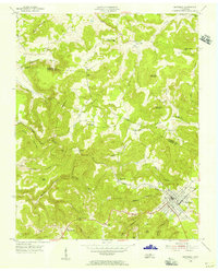
1955 · Monterey Lake
USGS Topo · 1:24,000
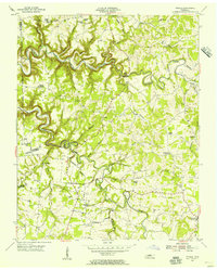
1955 · Windle
USGS Topo · 1:24,000