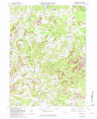
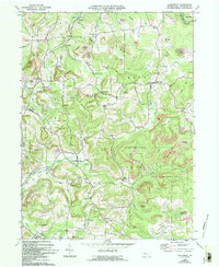
1969 Map of Coolspring
USGS Topo · Published 1982About this map
The Shawmut and Pittsburg and Pittsburg and Shawmut rail lines trace the winding creek valleys of Jefferson County, defining a landscape of industrial extraction and small-town settlement. Numerous strip mines and gas wells dot the uplands between Beaver Run and Little Sandy Creek, highlighting the region's reliance on energy resources. Clusters of rural life are visible at Knox Dale, Ramsaytown, and Markton, where small churches like St Matthews Ch and cemeteries such as St Johns Cem served established mining and farming communities.
Find a feature on this map
53 named features on this map. Tap any name to fly to it.
Don’t see what you’re looking for? This feature index may not catch every label — zoom into the map to look around manually.
Map Details
Editions of this 1969 Coolspring Map
5 editions found
Other maps of this area

1906 · Punxsutawney
USGS Topo · 1:62,500

1909 · Smicksburg
USGS Topo · 1:62,500

1922 · Du Bois
USGS Topo · 1:62,500

1924 · Du Bois
USGS Topo · 1:62,500

1924 · Brookville
USGS Topo · 1:62,500

1926 · Brookville
USGS Topo · 1:62,500

1938 · Smicksburg
USGS Topo · 1:62,500

1939 · Smicksburg
USGS Topo · 1:62,500

1939 · Punxsutawney
USGS Topo · 1:62,500

1942 · Punxsutawney
USGS Topo · 1:62,500
Featured Places
- Pine Creek Township, PA
- Knox Township, PA
- Rose Township, PA
- Sprankle Mills, Oliver Township
- Oliver Township, PA