Loading...
Loading map...1963 Map of Cooper City
USGS Topo · Published 1977About this map
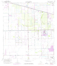
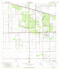
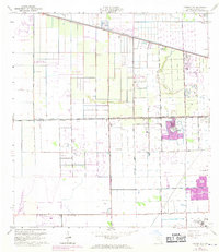
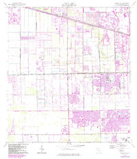
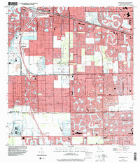
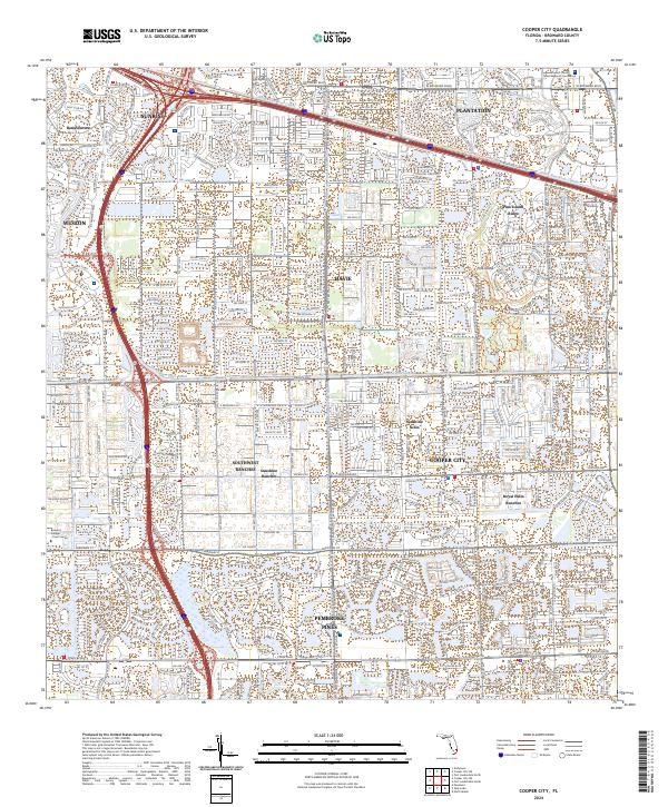
Cooper City and the surrounding Broward County landscape appear here during a transformative period of development, defined by a rigid grid of drainage canals and expanding suburban infrastructure. The hydrology of the region is dominated by the North New River Canal and South New River Canal, which frame the low-lying terrain of Pine Island. These waterways, managed by a series of floodgates and a Gaging Sta, highlight the massive engineering efforts required to reclaim the land for residential and agricultural use.
Find a feature on this map
37 named features on this map. Tap any name to fly to it.
Don’t see what you’re looking for? This feature index may not catch every label — zoom into the map to look around manually.
Map Details
Date Portrayed1963
Date Published1977
PublisherU.S. Geological Survey
Map TypeTopographic
Scale1:24,000
Physical Dimensions23.3 x 27 inches
Editions of this 1963 Cooper City Map
4 editions found
Historical Maps of Pembroke Pines Through Time
7 maps found

Featured Locations
Source Details
SourceU.S. Geological Survey
CopyrightPublic Domain