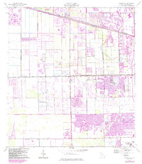
1963 Map of Cooper City
USGS Topo · Published 1984About this map
The suburban development of southern Broward County is captured during a transformative era of growth between the 1960s and 1980s. Cooper City and Pembroke Pines anchor the lower half of the sheet, where residential grids and golf courses begin to replace the open land near C B Smith Park. The landscape is heavily defined by drainage and water management, with the New River Canal running along the northern edge and Snake Creek appearing to the south.
Find a feature on this map
41 named features on this map. Tap any name to fly to it.
Don’t see what you’re looking for? This feature index may not catch every label — zoom into the map to look around manually.
Map Details
Editions of this 1963 Cooper City Map
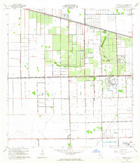
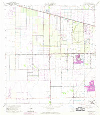
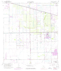
4 editions found
Other maps of this area

1945 · Fort Lauderdale North
USGS Topo · 1:24,000

1947 · North Miami
USGS Topo · 1:24,000

1949 · Opalocka
USGS Topo · 1:24,000

1949 · Fort Lauderdale North
USGS Topo · 1:24,000

1949 · Fort Lauderdale South
USGS Topo · 1:24,000

1950 · North Miami
USGS Topo · 1:24,000

1956 · Miami
USGS Topo · 1:250,000

1956 · West Palm Beach
USGS Topo · 1:250,000

1957 · West Palm Beach
USGS Topo · 1:250,000

1958 · West Palm Beach
USGS Topo · 1:250,000