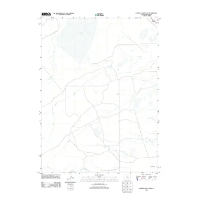
2012 Map of Cooper Lake South
USGS Topo · Published 2012About this map
Cooper Lake dominates the northern reaches of this Wyoming landscape, serving as a focal point for a region defined by its sophisticated water management. The southern portion of the basin is marked by the presence of the Harris Ranch, reflecting the enduring ranching traditions of Albany County. This 2012 survey reveals the intricate infrastructure required to support agricultural operations in the high plains, specifically through the James Lake North Canal and the Homer Ditch. These man-made watercourses, along with the natural flow of Cooper Cr, illustrate the human effort to harness and distribute limited water resources across the open terrain. The map provides a detailed view of the section lines and local roads that stitch together these isolated homesteads and water projects.
Find a feature on this map
5 named features on this map. Tap any name to fly to it.
Don’t see what you’re looking for? This feature index may not catch every label — zoom into the map to look around manually.
Map Details
Editions of this 2012 Cooper Lake South Map
This is the sole edition of this map. No revisions or reprints were ever made.
Other maps of this area

1895 · Laramie
USGS Topo · 1:125,000

1902 · Laramie
USGS Topo · 1:125,000

1905 · Laramie
USGS Topo · 1:125,000

1906 · Laramie
USGS Topo · 1:125,000

1908 · Laramie
USGS Topo · 1:125,000

1954 · Cheyenne
USGS Topo · 1:250,000

1955 · Bosler
USGS Topo · 1:24,000

1955 · Big Judson
USGS Topo · 1:24,000

1955 · Cooper Lake South
USGS Topo · 1:24,000

1955 · Cooper Lake North
USGS Topo · 1:24,000