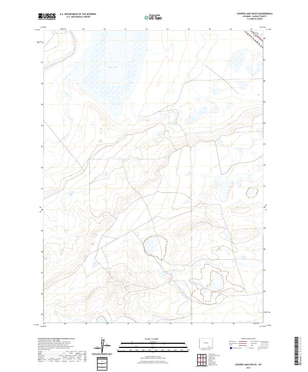
2021 Map of Cooper Lake South
USGS Topo · Published 2021About this map
Cooper Lake dominates the northern reaches of this Albany County landscape, its expansive waters and surrounding wetlands defining a high-plains drainage system in the Laramie Plains region. The map captures an intricate network of water management features, including the Homer Ditch and the James Lake Canal, which reflect the region's enduring reliance on irrigation for ranching and agriculture. The winding course of Cooper Cr cuts through the township grids, illustrating the natural hydrology of the basin alongside these man-made improvements. Located along the path of U.S. Route 30 287, which clips the far northeastern corner, the area is characterized by vast open spaces and subtle topographic shifts, typical of the high-elevation Wyoming prairie where water remains the most significant driver of land use and settlement patterns.
Find a feature on this map
11 named features on this map. Tap any name to fly to it.
Don’t see what you’re looking for? This feature index may not catch every label — zoom into the map to look around manually.
Map Details
Editions of this 2021 Cooper Lake South Map
This is the sole edition of this map. No revisions or reprints were ever made.
Other maps of this area

1895 · Laramie
USGS Topo · 1:125,000

1902 · Laramie
USGS Topo · 1:125,000

1905 · Laramie
USGS Topo · 1:125,000

1906 · Laramie
USGS Topo · 1:125,000

1908 · Laramie
USGS Topo · 1:125,000

1954 · Cheyenne
USGS Topo · 1:250,000

1955 · Bosler
USGS Topo · 1:24,000

1955 · Big Judson
USGS Topo · 1:24,000

1955 · Cooper Lake South
USGS Topo · 1:24,000

1955 · Cooper Lake North
USGS Topo · 1:24,000