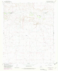
1966 Map of Cooper Ranch
USGS Topo · Published 1982About this map
Salado Creek winds through the northern portion of this high plains landscape, crossing the boundary between Guadalupe Co and De Baca Co. This mid-century survey reveals a territory defined by ranching infrastructure and remnants of earlier habitation. The Cooper Ranch serves as a primary point of reference, situated near a small Cem and several water sources.
Find a feature on this map
9 named features on this map. Tap any name to fly to it.
Don’t see what you’re looking for? This feature index may not catch every label — zoom into the map to look around manually.
Map Details
Editions of this 1966 Cooper Ranch Map
2 editions found
Other maps of this area

1954 · Fort Sumner
USGS Topo · 1:250,000

1958 · Fort Sumner
USGS Topo · 1:250,000

1966 · Gibbons Ranch
USGS Topo · 1:24,000

1966 · Ricardo
USGS Topo · 1:24,000

1966 · Ojo Negro Creek
USGS Topo · 1:24,000

1966 · Alamogordo Dam
USGS Topo · 1:24,000

1966 · Borica SW
USGS Topo · 1:24,000

1966 · Cooper Ranch
USGS Topo · 1:24,000

1966 · Yeso
USGS Topo · 1:24,000

1966 · Yeso NW
USGS Topo · 1:24,000