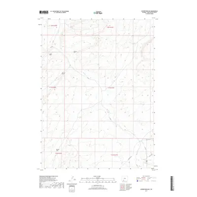
2017 Map of Cooper Ridge NE
USGS Topo · Published 2017About this map
Cooper Ridge defines the high ground in this portion of Sweetwater County, where the high desert landscape is deeply etched by a network of seasonal watercourses. The drainage of Black Butte Cr serves as the primary hydrologic feature, joined by several significant topographic depressions including Pinnacle Draw, Williams Draw, and Big Flat Draw. This area reflects the modern industrial and ranching infrastructure of southwestern Wyoming, indicated by the presence of Brady Plant Rd and Brady Field Rd in the southeastern corner. These roads, along with Patrick Draw Rd, signal the region's connection to energy development and resource management. Farther south, Sand Wash marks the lower elevations, highlighting the intricate natural erosion patterns that characterize this arid environment during the early 21st century.
Find a feature on this map
18 named features on this map. Tap any name to fly to it.
Don’t see what you’re looking for? This feature index may not catch every label — zoom into the map to look around manually.
Map Details
Editions of this 2017 Cooper Ridge NE Map
This is the sole edition of this map. No revisions or reprints were ever made.
Other maps of this area

1954 · Rock Springs
USGS Topo · 1:250,000

1958 · Rock Springs
USGS Topo · 1:250,000

1962 · Rock Springs
USGS Topo · 1:250,000

1968 · Cooper Ridge NE
USGS Topo · 1:24,000

1968 · Point Of Rocks SW
USGS Topo · 1:24,000

1968 · Sand Butte Rim NW
USGS Topo · 1:24,000

1968 · Mud Springs Ranch
USGS Topo · 1:24,000

1968 · Black Buttes
USGS Topo · 1:24,000

1968 · Pine Butte
USGS Topo · 1:24,000

1968 · Camel Rock
USGS Topo · 1:24,000