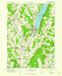
1943 Map of Cooperstown
USGS Topo · Published 1960About this map
Otsego Lake anchors this mid-century portrait of New York's Central Leatherstocking region, where the Susquehanna River begins its long journey south. The village of Cooperstown is mapped in significant detail, showing its relationship to the waterfront at Blackbird Bay and the shoreline landmarks like Kingfisher Tower and Point Judith. The surrounding hillsides of Otsego, Hartwick, and Middlefield reveal a landscape defined by small industrial hamlets and agricultural crossroads, including Phoenix Mills and Pail Shop Corners.
Find a feature on this map
56 named features on this map. Tap any name to fly to it.
Don’t see what you’re looking for? This feature index may not catch every label — zoom into the map to look around manually.
Map Details
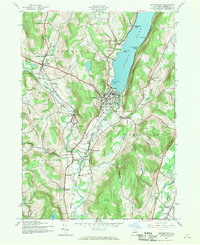
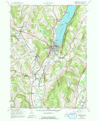
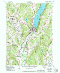
Editions of this 1943 Cooperstown Map
4 editions found
Other maps of this area

1903 · Richfield Springs
USGS Topo · 1:62,500

1907 · Winfield
USGS Topo · 1:62,500

1907 · Cooperstown
USGS Topo · 1:62,500

1909 · Cooperstown
USGS Topo · 1:62,500

1910 · Hartwick
USGS Topo · 1:62,500

1912 · Hartwick
USGS Topo · 1:62,500

1943 · Schuyler Lake
USGS Topo · 1:24,000

1943 · Mt Vision
USGS Topo · 1:24,000

1943 · Milford
USGS Topo · 1:24,000

1943 · Richfield Springs
USGS Topo · 1:24,000