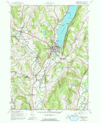
1943 Map of Cooperstown
USGS Topo · Published 1992About this map
Cooperstown sits at the headwaters of the Susquehanna River, where the lake's southern outlet meets a landscape of valley settlements and upland farms. In the early 1940s, the village's concentrated footprint contrasts with the surrounding agricultural districts, where numerous numbered schoolhouses like School No 6 and School No 16 served rural families. Significant local landmarks are identified along the shoreline of Otsego Lake, including the gothic silhouette of Kingfisher Tower and the natural drop of Leatherstocking Falls.
Find a feature on this map
63 named features on this map. Tap any name to fly to it.
Don’t see what you’re looking for? This feature index may not catch every label — zoom into the map to look around manually.
Map Details
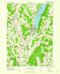
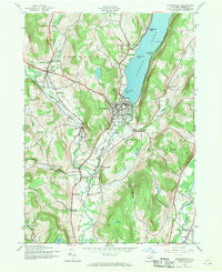
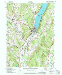
Editions of this 1943 Cooperstown Map
4 editions found
Other maps of this area

1903 · Richfield Springs
USGS Topo · 1:62,500

1907 · Winfield
USGS Topo · 1:62,500

1907 · Cooperstown
USGS Topo · 1:62,500

1909 · Cooperstown
USGS Topo · 1:62,500

1910 · Hartwick
USGS Topo · 1:62,500

1912 · Hartwick
USGS Topo · 1:62,500

1943 · Schuyler Lake
USGS Topo · 1:24,000

1943 · Mt Vision
USGS Topo · 1:24,000

1943 · Milford
USGS Topo · 1:24,000

1943 · Richfield Springs
USGS Topo · 1:24,000