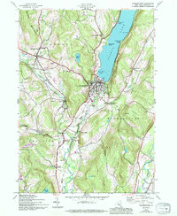
1943 Map of Cooperstown
USGS Topo · Published 1994About this map
Otsego Lake dominates this mid-century survey, with the village of Cooperstown established at its southern tip where the Susquehanna River begins its long journey south. This specific edition, updated with data from the early 1940s, reveals a landscape of transition where older rural patterns meet modern infrastructure. The presence of dismantled railroad beds near Oaks Creek and Chase Creek points to the fading influence of the local rail lines that once served the hop-growing and milling industries.
Find a feature on this map
50 named features on this map. Tap any name to fly to it.
Don’t see what you’re looking for? This feature index may not catch every label — zoom into the map to look around manually.
Map Details
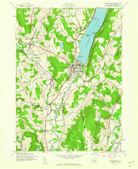
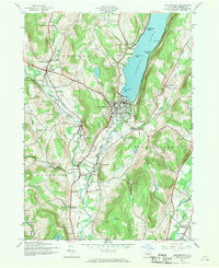
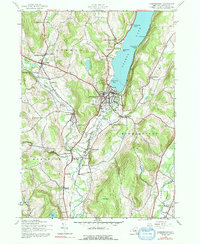
Editions of this 1943 Cooperstown Map
4 editions found
Other maps of this area

1903 · Richfield Springs
USGS Topo · 1:62,500

1907 · Winfield
USGS Topo · 1:62,500

1907 · Cooperstown
USGS Topo · 1:62,500

1909 · Cooperstown
USGS Topo · 1:62,500

1910 · Hartwick
USGS Topo · 1:62,500

1912 · Hartwick
USGS Topo · 1:62,500

1943 · Schuyler Lake
USGS Topo · 1:24,000

1943 · Mt Vision
USGS Topo · 1:24,000

1943 · Milford
USGS Topo · 1:24,000

1943 · Richfield Springs
USGS Topo · 1:24,000