
1955 Map of Copalis Beach
USGS Topo · Published 1959About this map
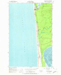
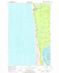
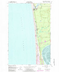
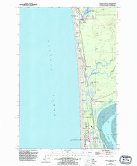
Copalis River meets the coastline in this mid-century survey of the Grays Harbor County shore, where a string of small coastal communities lines the beach. The settlement at Copalis Beach is the most prominent, while the smaller outposts of Ocean City, Sampson, and Oyhut follow the coastline to the south. A narrow strip of sand dunes separates the ocean from an inland landscape of low-lying wetlands and drainage, including a notable Cranberry Bog and several named waterways like Connor Creek and Cedar Creek.
Find a feature on this map
18 named features on this map. Tap any name to fly to it.
Don’t see what you’re looking for? This feature index may not catch every label — zoom into the map to look around manually.
Map Details
Editions of this 1955 Copalis Beach Map
5 editions found
Other maps of this area

1938 · Moclips
USGS Topo · 1:62,500

1941 · Moclips
USGS Topo · 1:62,500

1941 · Grayland
USGS Topo · 1:62,500

1943 · Copalis Beach
USGS Topo · 1:250,000

1951 · Copalis Beach
USGS Topo · 1:250,000

1955 · Point Brown
USGS Topo · 1:24,000

1955 · Carlisle
USGS Topo · 1:24,000
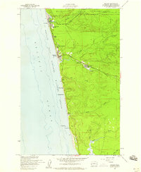
1955 · Moclips
USGS Topo · 1:24,000

1956 · Copalis Crossing
USGS Topo · 1:24,000
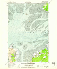
1956 · Westport
USGS Topo · 1:24,000