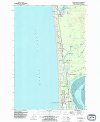
1955 Map of Copalis Beach
USGS Topo · Published 1995About this map
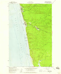
Copalis River flows into the Pacific Ocean at the northern end of this Grays Harbor coastal region, where a series of beachfront communities are connected by a linear network of roads and mobile home parks. The map highlights a distinct transitional landscape where freshwater features like Connor Creek and Cranberry Creek meander behind the dunes toward the salt waters of North Bay. The southern portion of the peninsula is marked by the Ocean Shores corporate boundary, showing the early footprint of this planned resort community including a golf course and landing strip. Cultural and economic markers are evident in the presence of a Cranberry Bog and several borrow pits, while the small settlement of Oyehut sits just above the wide tidal flat of the bay.
Find a feature on this map
25 named features on this map. Tap any name to fly to it.
Don’t see what you’re looking for? This feature index may not catch every label — zoom into the map to look around manually.
Map Details
Editions of this 1955 Copalis Beach Map
5 editions found
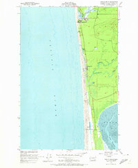
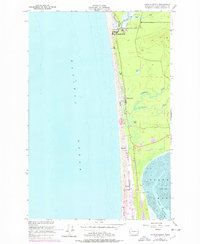
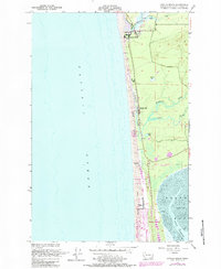
Other maps of this area

1938 · Moclips
USGS Topo · 1:62,500

1941 · Moclips
USGS Topo · 1:62,500

1941 · Grayland
USGS Topo · 1:62,500

1943 · Copalis Beach
USGS Topo · 1:250,000

1951 · Copalis Beach
USGS Topo · 1:250,000

1955 · Point Brown
USGS Topo · 1:24,000

1955 · Carlisle
USGS Topo · 1:24,000

1955 · Copalis Beach
USGS Topo · 1:24,000
1955 · Moclips
USGS Topo · 1:24,000

1956 · Copalis Crossing
USGS Topo · 1:24,000