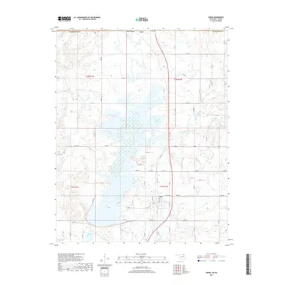
2019 Map of Copan
USGS Topo · Published 2019About this map
Copan and the surrounding river bottomlands of Washington Co are defined by the expansive waters of Copan Lake, a prominent feature that reshaped the local geography of northern Oklahoma. The town site itself sits just east of the shoreline, with residential streets like N Caney Ave and E Golden Ave bordering the marshy wetlands. To the north, the small settlement of Owen marks the approach to the Kansas state line, situated along the corridor created by the Little Caney River.
Find a feature on this map
57 named features on this map. Tap any name to fly to it.
Don’t see what you’re looking for? This feature index may not catch every label — zoom into the map to look around manually.
Map Details
Editions of this 2019 Copan Map
This is the sole edition of this map. No revisions or reprints were ever made.
Other maps of this area

1885 · Sedan
USGS Topo · 1:125,000

1886 · Independence
USGS Topo · 1:125,000

1889 · Sedan
USGS Topo · 1:125,000

1894 · Independence
USGS Topo · 1:125,000

1901 · Nowata
USGS Topo · 1:125,000

1905 · Independence
USGS Topo · 1:125,000

1909 · Pawhuska
USGS Topo · 1:125,000

1910 · Pawhuska
USGS Topo · 1:125,000

1914 · Nowata
USGS Topo · 1:125,000

1947 · Joplin
USGS Topo · 1:250,000