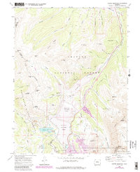
1970 Map of Copper Mountain
USGS Topo · Published 1988About this map
Kokomo (Site) serves as a focal point for this survey of the High Rockies, illustrating the transition from a traditional mining community to an industrial-scale extraction landscape. By the late twentieth century, the townsite sat adjacent to massive infrastructure projects like the Tenmile Tailings Pond and Robinson Tailings Pond, which dominate the central valley. These features, along with the Oxide Tailings Pond, reflect the intense mineral processing occurring in the shadow of Copper Mountain.
Find a feature on this map
84 named features on this map. Tap any name to fly to it.
Don’t see what you’re looking for? This feature index may not catch every label — zoom into the map to look around manually.
Map Details
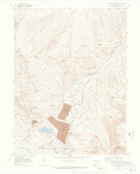
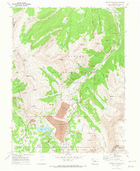
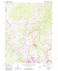
Editions of this 1970 Copper Mountain Map
4 editions found
Other maps of this area

1889 · Leadville
USGS Topo · 1:125,000

1891 · Leadville
USGS Topo · 1:125,000

1929 · Dillon
USGS Topo · 1:62,500

1934 · Climax
USGS Topo · 1:48,000

1934 · Minturn
USGS Topo · 1:62,500

1934 · Dillon
USGS Topo · 1:62,500

1938 · Mt. Lincoln
USGS Topo · 1:48,000

1942 · Leadville
USGS Topo · 1:125,000

1945 · Mount Lincoln
USGS Topo · 1:62,500

1949 · Holy Cross
USGS Topo · 1:62,500