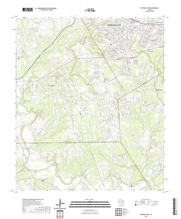
2022 Map of Copperas Cove
USGS Topo · Published 2022About this map
The Lampasas River carves a winding path through the southern portion of this region, which sits at the complex junction of four Texas counties. The urban expansion of Copperas Cove dominates the northeastern corner, with modern street layouts reaching toward local landmarks like Copperas Point and Rattlesnake Point. To the west, the settlement of Kempner serves as a secondary hub near Taylor Mtn.
Find a feature on this map
193 named features on this map. Tap any name to fly to it.
Don’t see what you’re looking for? This feature index may not catch every label — zoom into the map to look around manually.
Map Details
Editions of this 2022 Copperas Cove Map
This is the sole edition of this map. No revisions or reprints were ever made.
Other maps of this area

1887 · Lampasas
USGS Topo · 1:125,000

1887 · Burnet
USGS Topo · 1:125,000

1893 · Georgetown
USGS Topo · 1:125,000

1893 · Burnet
USGS Topo · 1:125,000

1894 · Lampasas
USGS Topo · 1:125,000

1894 · Gatesville
USGS Topo · 1:125,000

1903 · Burnet
USGS Topo · 1:125,000

1909 · Burnet
USGS Topo · 1:125,000

1947 · Fort Hood
USGS Topo · 1:62,500

1947 · Fort Hood
USGS Topo · 1:24,000