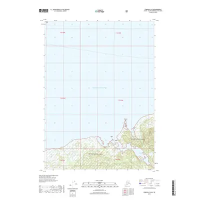
2018 Map of Cordova C-6 SW
USGS Topo · Published 2018About this map
Prince William Sound dominates this coastal survey, where the saltwater of Orca Bay meets the southern reaches of the Chugach National Forest. The map documents a complex coastline of tidal inlets and navigable channels, most notably Canoe Passage, which separates the mainland terrain from the island masses to the south. This area is defined by its maritime geography, featuring landmarks like Piledriver Rock and the sheltered waters of Whiskey Cove.
Find a feature on this map
16 named features on this map. Tap any name to fly to it.
Don’t see what you’re looking for? This feature index may not catch every label — zoom into the map to look around manually.
Map Details
Editions of this 2018 Cordova C-6 SW Map
This is the sole edition of this map. No revisions or reprints were ever made.
Other maps of this area

1948 · Cordova
USGS Topo · 1:250,000

1950 · Cordova C-7
USGS Topo · 1:63,360

1950 · Cordova C-6
USGS Topo · 1:63,360

1950 · Cordova B-7
USGS Topo · 1:63,360

1951 · Cordova
USGS Topo · 1:250,000

1951 · Cordova B-6
USGS Topo · 1:63,360

1953 · Cordova C-6
USGS Topo · 1:63,360

1953 · Cordova B-7
USGS Topo · 1:63,360
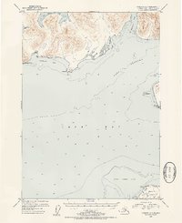
1953 · Cordova C-7
USGS Topo · 1:63,360

1953 · Cordova B-6
USGS Topo · 1:63,360