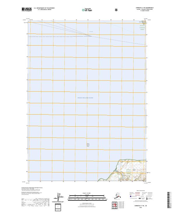
2024 Map of Cordova C-7 SE
USGS Topo · Published 2024About this map
Prince William Sound dominates this coastal landscape, where the waters of Orca Bay meet the northern shores of Hawkins Island. The map focuses on a transitional marine environment, encompassing the eastern reaches of the sound and the submerged hazards of Middle Ground Shoal. Much of the terrestrial area is protected as part of the Chugach National Forest, highlighting the wilderness character of the region. Distinctive coastal landmarks such as Gravina Point to the north and Makarka Point on the island's coastline serve as primary navigational references. The lack of developed infrastructure or settlements reflects the maritime and ecological priorities of this portion of the Alaska coast, defined by the Public Land Survey System grids that partition these remote reaches of the forest.
Find a feature on this map
12 named features on this map. Tap any name to fly to it.
Don’t see what you’re looking for? This feature index may not catch every label — zoom into the map to look around manually.
Map Details
Editions of this 2024 Cordova C-7 SE Map
This is the sole edition of this map. No revisions or reprints were ever made.
Other maps of this area

1948 · Cordova
USGS Topo · 1:250,000

1950 · Cordova C-7
USGS Topo · 1:63,360

1950 · Cordova C-6
USGS Topo · 1:63,360

1950 · Cordova B-7
USGS Topo · 1:63,360

1951 · Cordova
USGS Topo · 1:250,000

1951 · Cordova B-6
USGS Topo · 1:63,360

1953 · Cordova C-6
USGS Topo · 1:63,360

1953 · Cordova B-7
USGS Topo · 1:63,360
1953 · Cordova C-7
USGS Topo · 1:63,360

1953 · Cordova B-6
USGS Topo · 1:63,360