
1955 Map of Cornelia
USGS Topo · Published 1956About this map
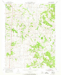
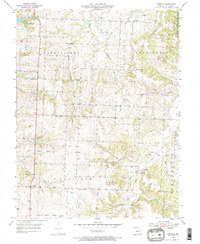
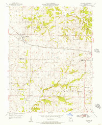
The agrarian landscape of Johnson County unfolds across this mid-century survey, characterized by a dense network of small family-named landmarks and rural institutions. The settlement of Cornelia sits at a crossroads in the southwest, while the northern reaches include the resort area of Pertle Springs and the eastern edge of the Knob Noster State Park. The terrain is defined by the high ground of Montserrat Ridge and Bristle Ridge, which separate the various tributaries of Post Oak Creek and Clear Fork. This era shows the persistence of rural education and worship, with local landmarks like Valley Sch, Adams Sch, and Mt Zion Ch serving the surrounding homesteads. Evidence of local industry is visible in several Quarry sites and Strip Mines scattered near the watercourses, while numerous family burial grounds such as Adams Memorial Cem and Sutton Cem provide vital links for genealogical research.
Find a feature on this map
34 named features on this map. Tap any name to fly to it.
Don’t see what you’re looking for? This feature index may not catch every label — zoom into the map to look around manually.
Map Details
Editions of this 1955 Cornelia Map
3 editions found
Other maps of this area

1885 · Warrensburg
USGS Topo · 1:125,000

1887 · Warrensburg
USGS Topo · 1:125,000

1894 · Warrensburg
USGS Topo · 1:125,000

1917 · Knobnoster
USGS Topo · 1:62,500

1947 · Jefferson City
USGS Topo · 1:250,000

1954 · Jefferson City
USGS Topo · 1:250,000

1954 · Centerview
USGS Topo · 1:24,000
1955 · Leeton
USGS Topo · 1:24,000
1955 · Windsor
USGS Topo · 1:24,000
1955 · Chilhowee
USGS Topo · 1:24,000